Note to reader: The below updates were originally posted to a group chat that I was using to keep my family and friends updated on the progress of my sea adventure.
Update 14-November
It is hot.
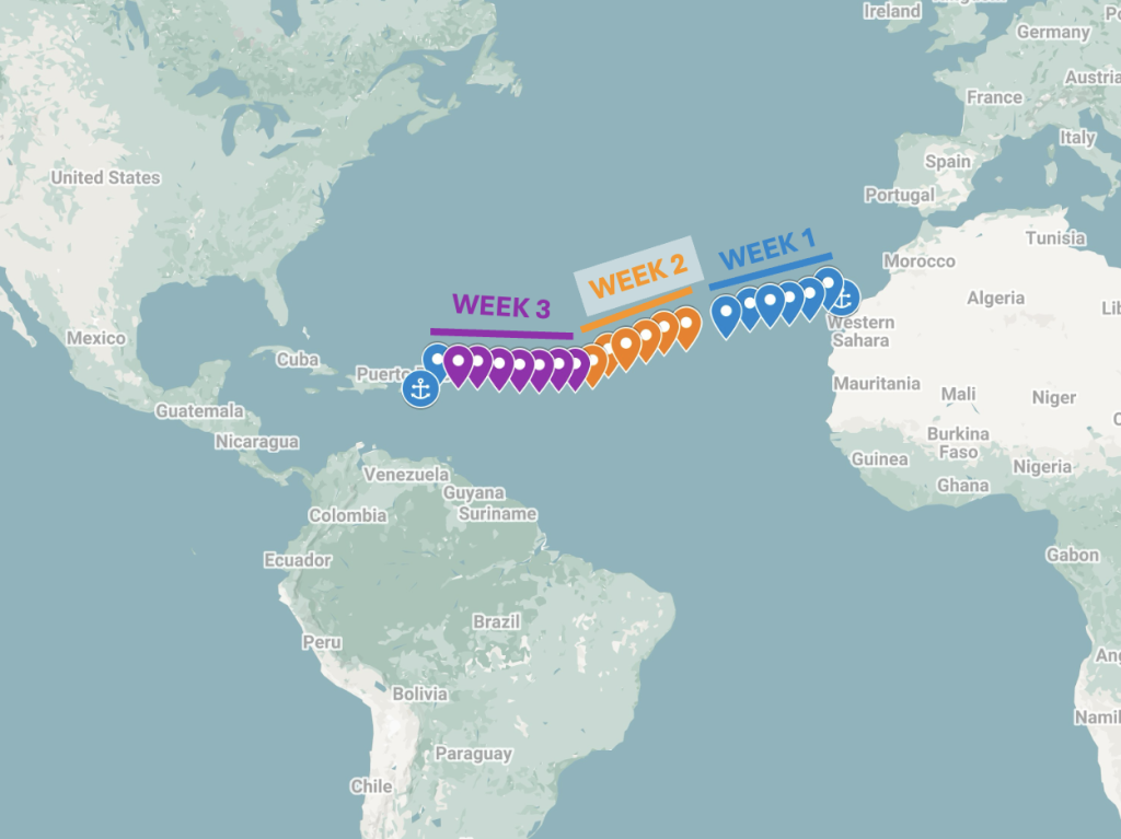
This is day 14 of our planned 3-week ocean passage from the Canary Islands to the British Virgin Islands.
And it is hot 🌞🫠
In case it was not clear until now, we can definitely tell that we are approaching tropical weather. As long as the wind keeps up that means we will still be comfortable so here’s to hoping that it keeps up 🤞🏾
Yesterday we had a bit of repair work to do for our mainsail. The reefing line for the first reef point of the mainsail got chafed so bad that the line broke, with a big portion of the line stuck in the boom! (the horizontal bar that runs perpendicular to the mast)
Reefing lines are used to maintain control of the boat and sails as the wind picks up– going fast is great, but sometimes if you have too much sail exposed in high winds then you can start to lose control. Also sails are only rated to withstand up to a certain amount of wind speed, and beyond those limits you can see either damage to the sails or even structural damage to the boat’s rigging.
Fortunately the boat has plenty of spare and backup line, so it was only a matter of pulling out the damaged line and running new reefing lines. To prevent this line from suffering the same fate as the previous one, we ran the lines differently in a way to avoid the chafing issue.
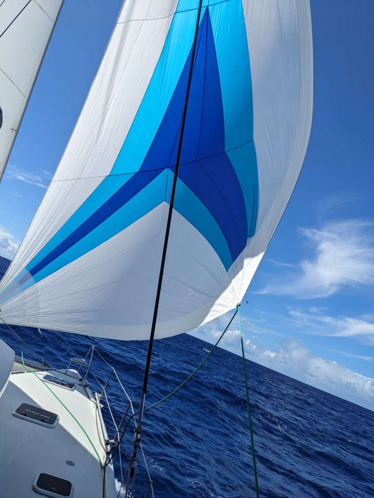
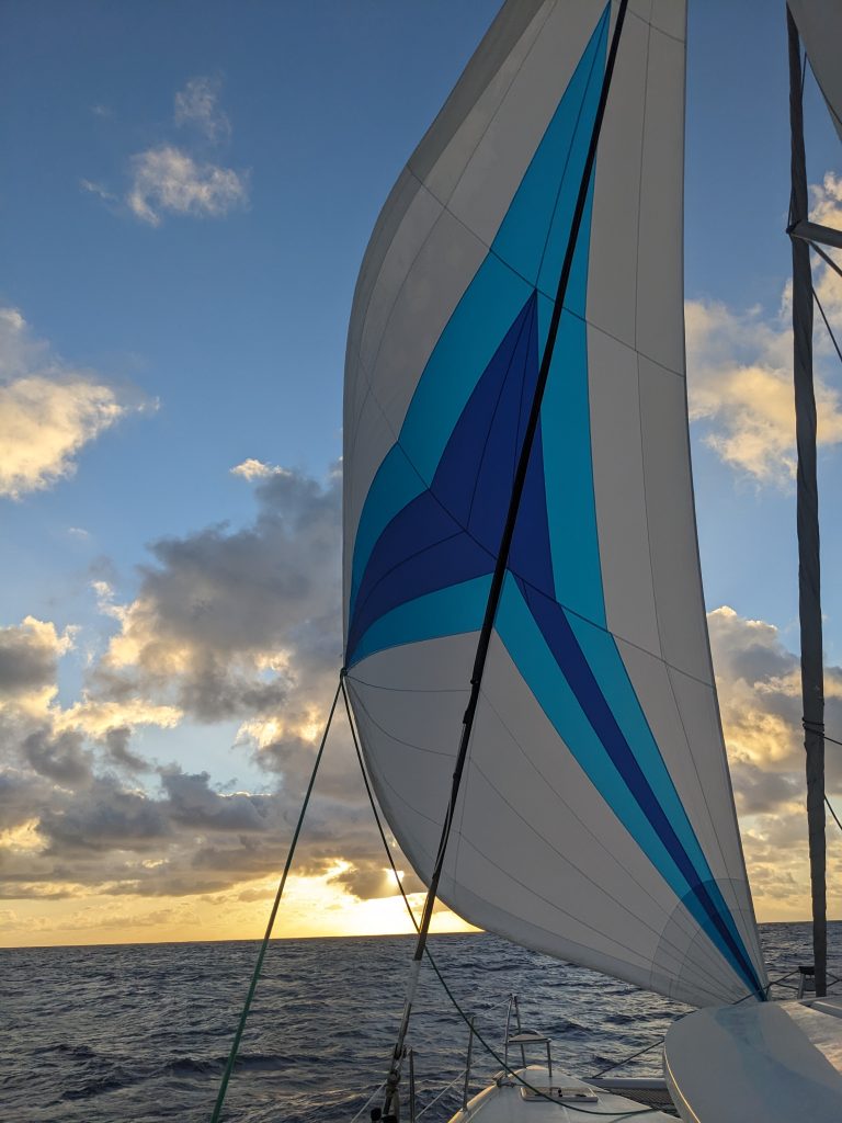
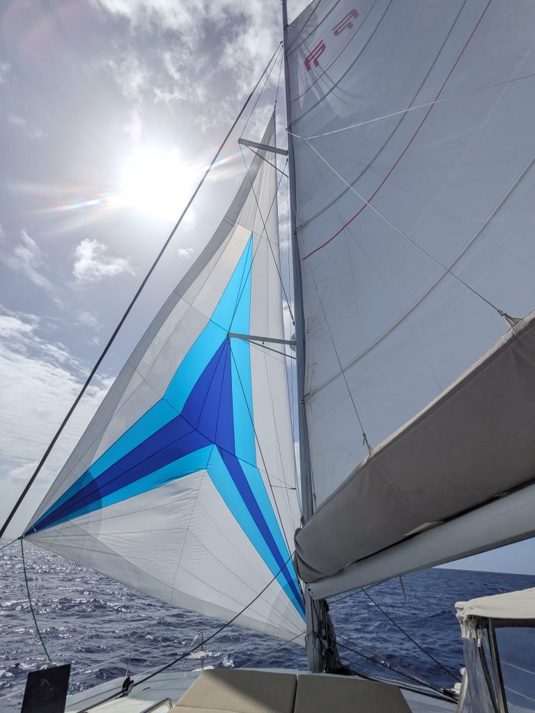
After that we had moderate winds, so we broke out our colorful code zero sail again, which performs well in lighter winds. That enabled us to keep sailing at a good clip of 4-5 knots, which is better than what we were getting with our usual Genoa foresail.
Night watch was fine, I was able to spot Ursa Major (Big dipper) and Polaris (the north star), and learned the names of some of the stars in Ursa Major.
Now it is sunny with scattered clouds, and our code zero foresail is still flying high. I woke up pretty exhausted. I think all of these weeks of disrupted sleep due to night watch duty is finally catching up to us….😴 But that is what espresso is for, so I’ll just keep on taking it one day at a time.
Here is my current location:
https://goo.gl/maps/wGdkVFbuTc9jvcpA9
Update 15-November
Today is the 2-week mark of my planned 3-week ocean passage from the Canary Islands to the Caribbean. Before the end of the day, we will be less than 1,000 nautical miles from our destination!
As next week is Thanksgiving, we are doing some guesswork to see where we night be when next Thursday comes around. If we are nearing the French Caribbean islands around that time, we may decide to make a stop in Guadeloupe and have a nice meal onshore…to be determined. If we will be onboard we have a nice cut of pork loin that could be a substitute for turkey. So we have some options, but of course this is all just speculation until we get a little closer to arrival time.
Crew morale is hanging in there– I wasn’t the only one exhausted yesterday, and tempers got a bit shorter, but I think everyone is trying to get a few more nap-times in, to avoid burn-out.
I was complaining about the heat in yesterday’s update, and before the end of my daytime shift, we got some rain to help cool us off !💧💧💧🙏🏾 It’s nice when you can get the rain without the accompanying rough seas and overpowering winds, sometimes.
After my shift I laid down in my cabin to try and catch up on some sleep. I didn’t get any deep sleep in, but allowing myself to just lie there and do nothing did feel like a good rest nonetheless.
During my night shift we were sailing and making some good time. I managed to spot and identify the Aries constellation, which combined with Taurus covers my zodiac sign (I’m on the cusp between the two). I also spotted Cassiopeia and the names of the stars making up that constellation.
It’s a nice sunny day today, and this time we have a cooling breeze so it is looking to be an awesome day!
Here is my current location:
https://goo.gl/maps/xogk4kwvxYvaZiKK7
Update 16-November
It us now day 16 of my planned 3-week ocean passage from the Canary Islands to the Caribbean. We are still travelling westerly towards the Caribbean, headed in the general direction of St. Kitts and Nevis. At this point we have only 942 nautical miles left to go…we are now down to triple digits!
Yesterday was another good day. We decided to fly our code zero foresail again– this time not for any performance reason, but to let it dry off 🤣 The crew had to bring that sail down and stow it in the rain, so to keep the mildew away it had to go back up.
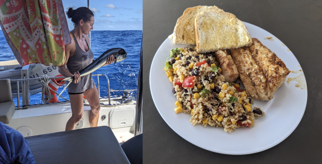
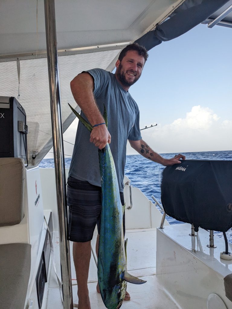
With a fishing line out we caught another mahi mahi! Ezra reeled it in and filleted it, and I made a meal out of it with some aglio e olio pasta on the side. This was a good-sized catch, so plenty of extra fish got packed in the freezer for another day.
By now we are all becoming more vigilant about how much rest we are getting. It’s easy to get set in a certain rhythm, but if you calculate how much sleep you’re really getting and you count less than 5 hours per day, that should be an indicator that you need to figure out how to get some more rest in your routine.
I am on the borderline with my schedule, so that means for me to make sure that after my 12pm-3pm shift I need to go lie down for an hour or two.
Night shift was beautiful, with plenty of stars to see and a very constant wind blowing.
That’s all I got for today. It is starting to feel like the final stretch now, so as long as I make good rest a focus, I am optimistic that I can make it through in good spirits.
Here is my current location:
https://goo.gl/maps/oVkCwZvo77wK3oDp8
Update 17-November
Today is day 17 of my planned 3-week ocean passage from the Canary Islands to the Caribbean. We are headed west and hoping for good winds to take us the rest of the way in.
Yesterday was a good day because I think that the different crew members managed to get control of theit exhaustion issues (including me), which meant that morale is back up to happy levels 👍🏾
We had decent sailing, nothing too fast but a good pace and steady. That kept up for most of the night too, with maybe a slight slow down a bit before dawn.
Speed is back up now, but we are anticipating some rough seas starting this afternoon…so we’ll just have to ride it out and see how rough it gets.
Here is our current location:
https://goo.gl/maps/mrYs8DAMVcP3u8zB9
Update 18-November
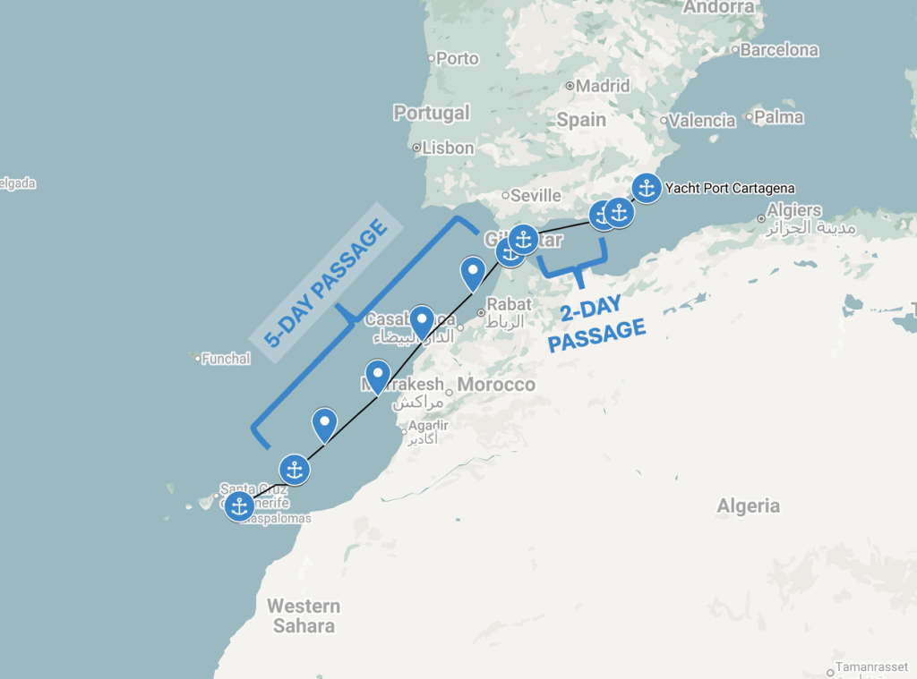
Okay this is day 18 of my 3-week planned ocean passage from the Canary Islands to the Carribbean. The weather forecasts are making us think we can bypass the French Caribbean islands now and head straight towards the British Virgin Islands, so that is where we are headed.
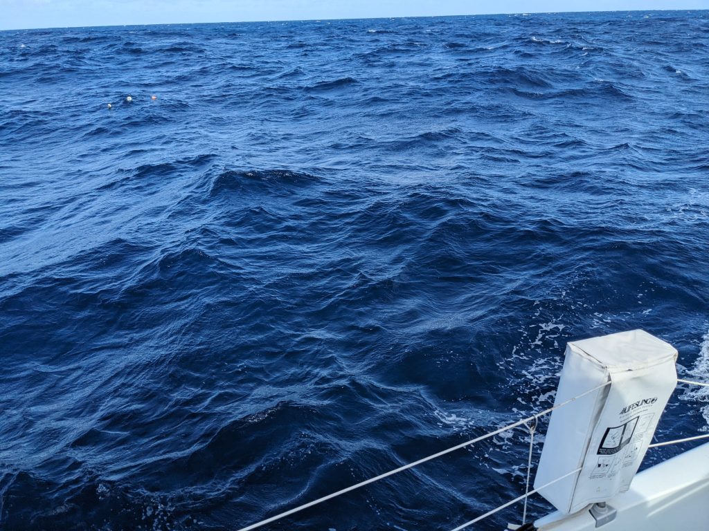
The rough seas that were forecasted never really came yesterday. We do have higher swells and waves today than on previous days but nothing near the 20-foot-plus waves we were expecting.
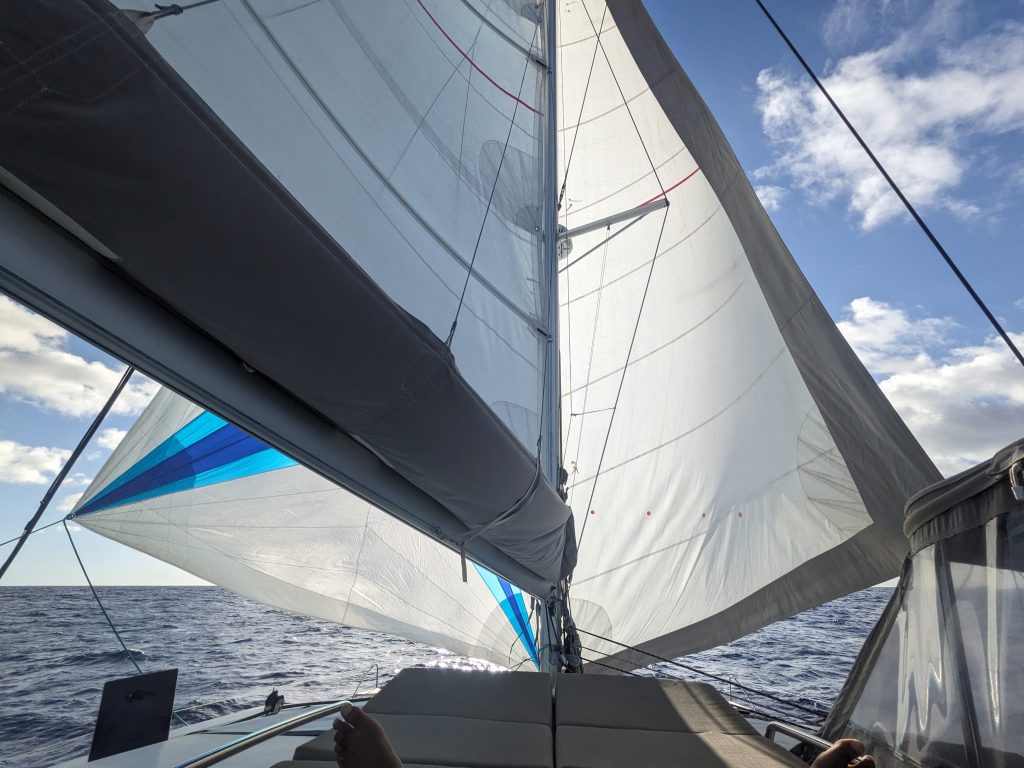
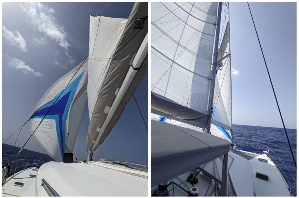
So the rest of the day yesterday was a calm sail. We actually tried out a new 3-sail configuration, which resembles a rig called a “cutter” rig. This is where you have 3 sails out, all angled in the same direction. The theory is if you have 2 sails out, won’t a 3rd sail give you even more speed? Well in our case the answer was yes, but it took some tweaking and adjusting before we were able to keep all three sails full at the same time.
It is starting to show that we are getting close to the islands now: during our night watches, we are starting to see more and more vessels come within visual distance from us. This we would expect to see as we get closer to land.
But no boats appeared during my shift, so I just scanned the sky for stars and managed to spot the Gemini constellation.
Today started out with a bit of rain, but that has stopped and now we have some moderate waves and we are sailing at a decent speed.
Just taking it one day at a time now…
Here is my current location:
https://goo.gl/maps/k5PHJReJ46PgHCpHA
Update 19-November
Today is day 19 of my 3-week planned ocean passage from the Canary Islands to the Caribbean. With only 526 nautical miles left to go, it finally feels like we are on the last leg of our long journey.
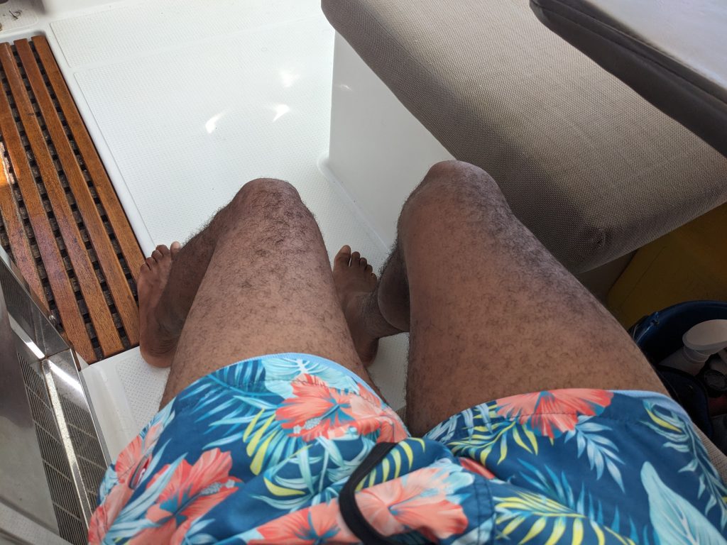
Yesterday yielded another fine day sail. It did get hot enough for me to break out my swim trunks, and let my thighs show a little bit 🫣 But we eventually got cooled down by the breeze so it was not too bad.
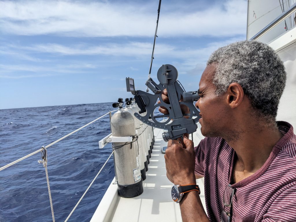
I finally finished the first half of my celestial navigation course. I’ve made it far enough to understand the process of taking a reading of the Sun’s altitude using a sextant, and then using a nautical almanac and lookup tables to calculate your position. So today we’ll be breaking out the sextant onboard and putting all of this theory to practice!
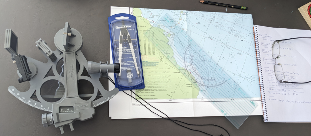
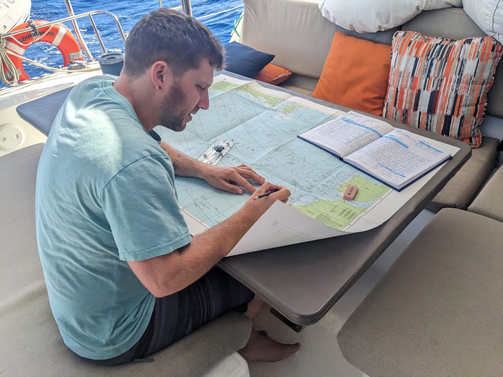
Of course since we have GPS we don’t need to use the Sun, Moon or stars to tell us our location. And in fact the vast majority of active competent sailors out there don’t know how to navigate by stars. But as I see it, the drill goes something like this: we have been using our GPS chart plotter to track our position, and at 3 hour intervals we record our latitude and longitude position in the boat’s official log book (This we are really doing). Then disaster strikes and all electronics on board are no longer available. Maybe phones and tablets and laptops work for a few days but those eventually go out too. Now what? Trace back to our latest known location (via the log book), plot that location on the onboard paper nautical charts, and start using the Sun to keep track of our position.
Well that is what we’ll try anyway 😀
We have now set our clocks back to be one hour ahead of New York, USA time, which is the time zone of our destination. We are ose enough now that we’ve decided to not let the boat drop below a speed of 5 knots (nautical miles per hour). So we will fire up the engines as needed to keep our speed up. In that way we have the best chances of being able to enjoy Thanksgiving dinner on land. British Virgin Islands, here we come!
Here is my current location:
https://goo.gl/maps/1T91B6iGGvJmncgY8
Update 20-November
It’s day 20 of my planned nonstop ocean passage from the Canary Islands to the British Virgin Islands. We are now targeting to arrive on Thursday, so having a nice dinner onshore on Thursday is a possibility.
Yesterday was my first time taking out the sextant and taking sun sight altitude readings with it. Once you’ve taken it, with the help of some lookup tables and some calculations, you should be able to pinpoint at what latitude you are in. Well after yesterday’s sun sight, our calculations gave us a latitude value that was 3 degrees off. That does not seem like much until you understand that 3 degrees is the equivalent of about 180 nautical miles! So it was good practice, but definitely the goal over the next few days will be to see if we can arrive at a more accurate latitude.
The day was easy other than that. Night shift was also painless, with no other boats crossing our paths and nice steady winds.
The sun is out again today, so looking forward to more great sailing!
Here is our current location:
https://goo.gl/maps/YSerFCdNJUWEbDe46
Update 21-November
Good morning! Today is Tuesday, day 21 of my planned ocean passage from the Canary Islands to the British Virgin Islands.
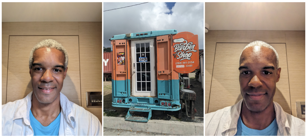
This morning I showered, washed my hair, and shaved. (I’ll let you guess when was the last time I did that 🤔) I don’t mind roughing it and skipping showers, but it does feel good to be all fresh and clean every now and again. We are definitely all feeling like we are almoat there– we are hoping to make it to the British Virgin Islands for a Thanksgiving dinner on Thursday at a restaurant / bar on shore.
So only 2 days to go, if all goes well!
Since I started taking sextant sightings, it’s become a daily habit now. Hopefully each day I will get better and better at reading the Sun’s altitude…captain and the crew are even looking to start taking sights and stepping through the process with me. We’ll all be competent celestial navigators before too long!
With our target destination and day/time in mind, we are now doing a lot of motor-sailing: that means your sails are up, but you still have the engine(s) going to make sure you don’t slow down when the wind drops. But that is fine for us, I think we are all looking forward to bringing this chapter in our ocean adventures to a close.
Sun is out and so are my thighs, so you know we are in full-blown tropical weather now!
Here is my current location:
https://goo.gl/maps/xuLejvrK1tZP6mni6
Update 22-November
This is day 22 of my planned ocean passage from the Canary Islands to the British Virgin Islands. It is Wednesday, and if all goes according to plan we should arrive at our destination tomorrow, mid morning.
During my night shift we passed just 24 nautical miles north of Barbuda heading west, so we are now officially in the Carribbean.
I sent a pic and video of us stopping the boat and jumping in the water for a bit. We were able to do that because the wind haf died down to almost nothing and the current & waves were also minimal. After we fired up the engines and set off again, we dropped the sails and used the engines for the rest of the day and all night.
As I write this update this morning the wind picked up and we are now sailing again with the engines off. The biggest hazard on th seas now is all of thle floating lobster traps laid out by fishermen of the region. If we don’t spot them and we run over the traps, we risk getting our hulls and rudder caught in the lines, or even worse we could get the lines wrapped around the propellers if the engines are running. So today is about keeping vigilant during your watch to make sure we steer clear of all of those traps.
Other than that, this is the final countdown to landfall. Almost there now!
Here is our current location:
https://goo.gl/maps/BK3Mgg8xstCMQe9E9
Update 23-November-2023, 3:37 AM:
We have arrived at our destination of Road Town, Tortola in the British Virgin Islands!
🥳🥳🥳
We arrived at night and tied up to a mooring just off shore.
So the Atlantic crossing is now officially over!
I’m gonna go to sleep now, more updates tomorrow. 😀
Here is where we are moored:
https://goo.gl/maps/XAf34qpKVTYjQwjVA
Update after arriving: 23-November-2023
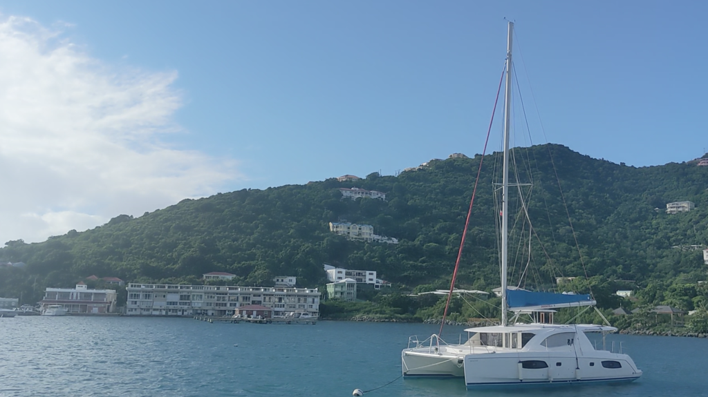
Okay! I woke up this morning to a peaceful, green landscape. We moored just offshore of the island of Tortola, in Road Town, the captial of the British Virgin Islands (BVI’s).
Yesterday was the 22nd and final day of our planned 3-week ocean passage which started in Gran Canaria, Canary Islands, and ended in the BVI’s. We started to see land from not too far away as we made our approach, as I showed yesterday. We managed to sustain about 6-8 knots on wind power for most of the day. This would have been great except for two things: first, we had entered an area where lobster trapping is big– so trying to spot and avoid running over lobster pot lines became a priority, but is very hard because the floaties on the surface are tiny and they pop up unexpectedly and always at the last minute. Second, the seas got very rough and swells very high, which made it even harder to spot those tiny lobster traps.
But we made it through all of that, and at such a good clip that we were able to make it in in just a little after 3am local time.
It was halfway through my night watch when I was joined by the captain, as he is the one who brings us in to port, especially if we are making landfall at night.
Instead of trying to find an anchoring point and dropping anchor in the dark, we planned to go to a spot where there were mooring balls to attach to. If you don’t know what those are, they are floating balls that are attached to some very heavy stuff on the ocean floor, which serve as a very solid and secure anchoring point. So when we show up, all we needed to do is grab the hook attached to the mooring ball, and connect it to a line coming from our boat. It was all over and done in about 30 seconds.
And that was it! There were high-fives all around, but we decided that 3am was a bit late (early?) to share some celebratory drinks 😁 So instead we all went down to try and get some much needed rest.
Now it’s morning, and I am torn between wanting to get up, walk around and expore the city, or just lounging round and doing nothing – just relaxing for the day. But either way, I’ve made it! That’s 2,984 total nautical miles logged on this crossing! Here’s me signing out for now 🤙🏾
I’m still at the same location :
https://goo.gl/maps/XAf34qpKVTYjQwjVA
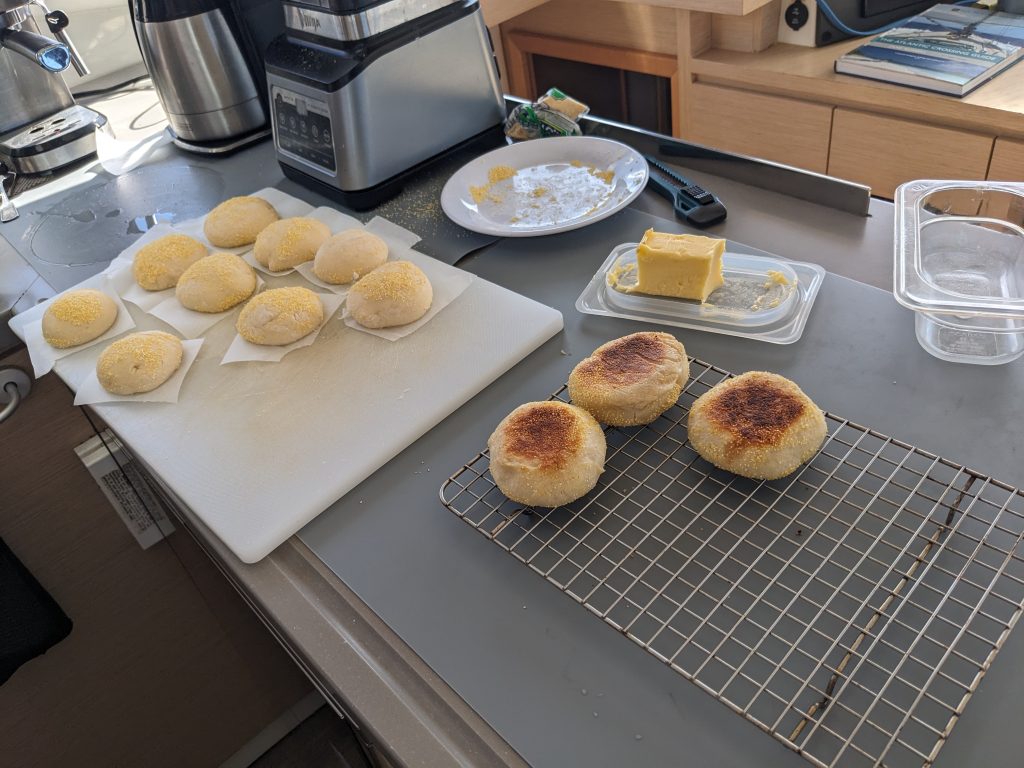
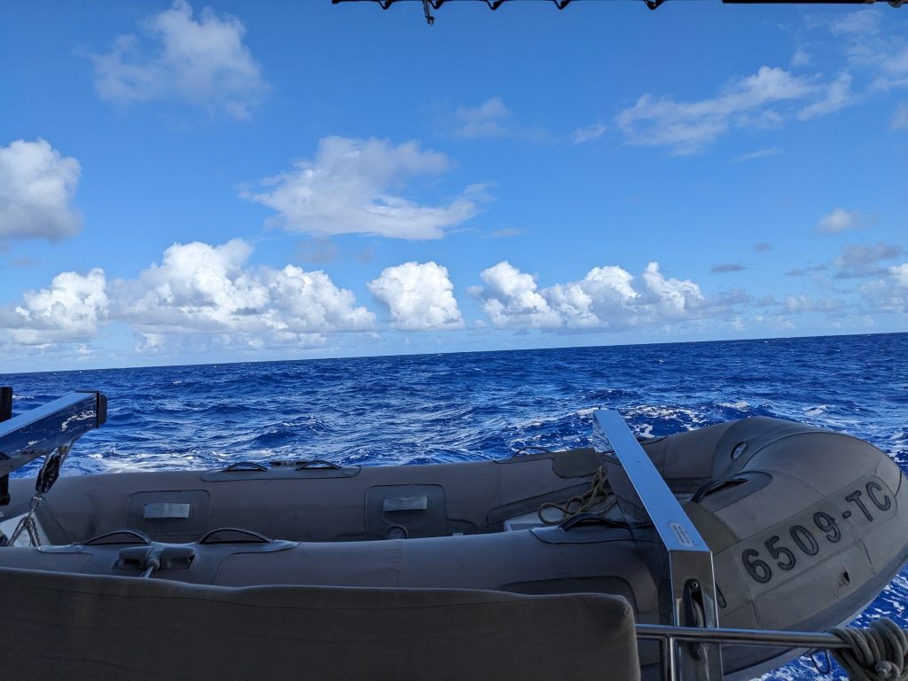
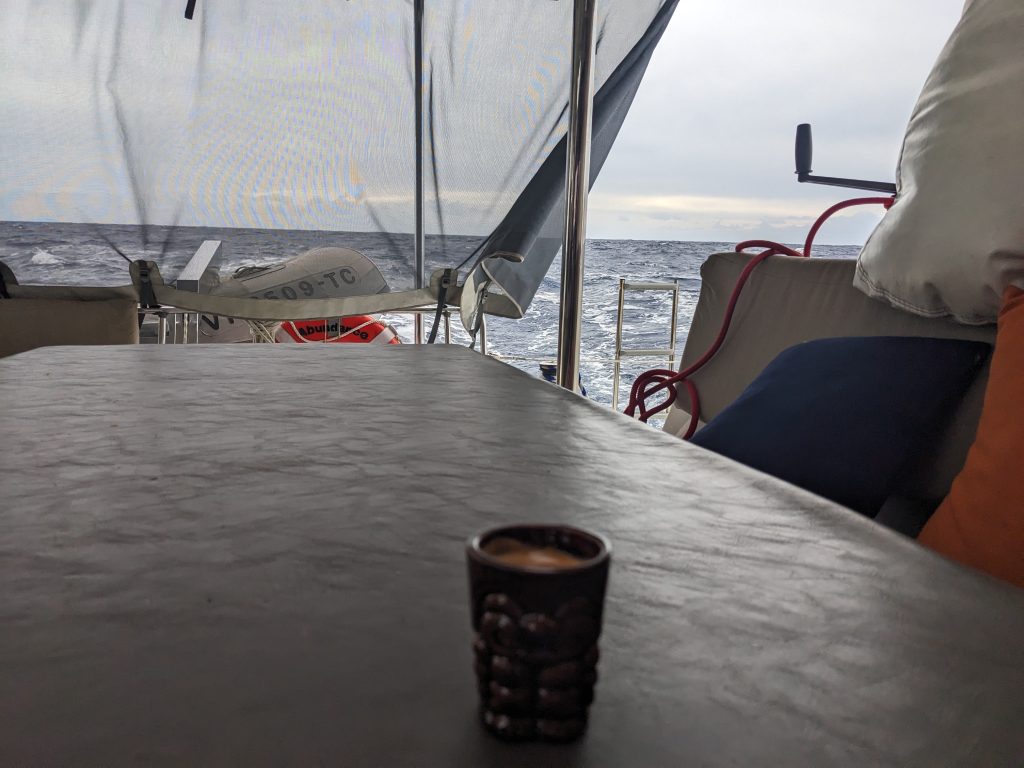
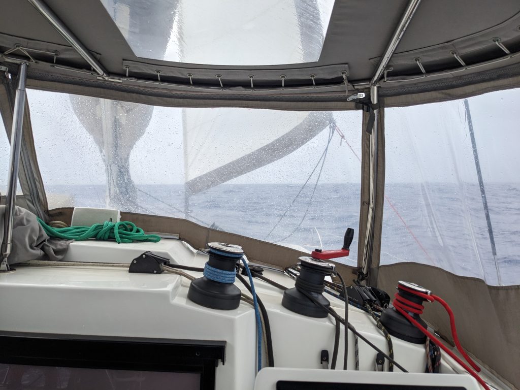
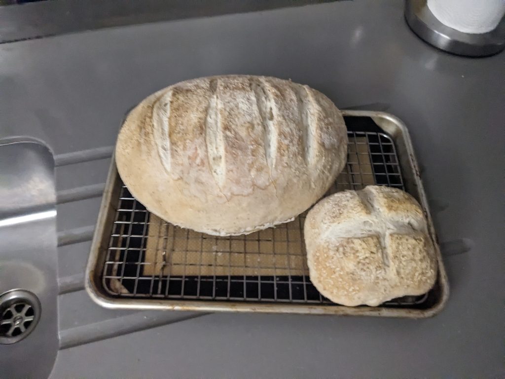
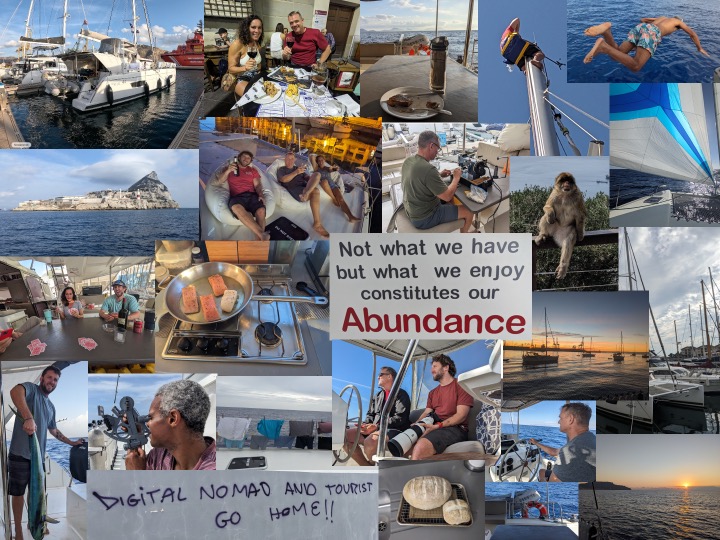
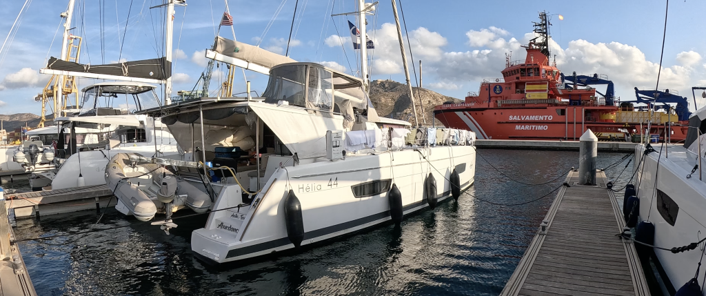
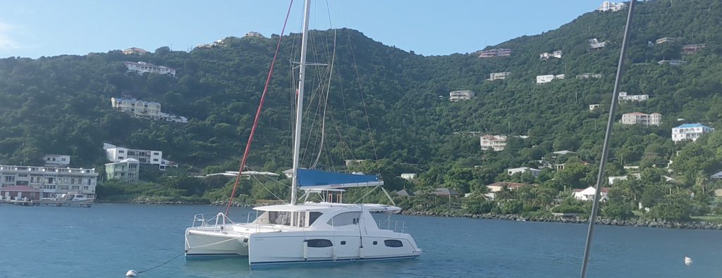
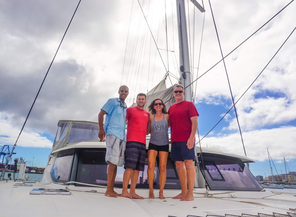
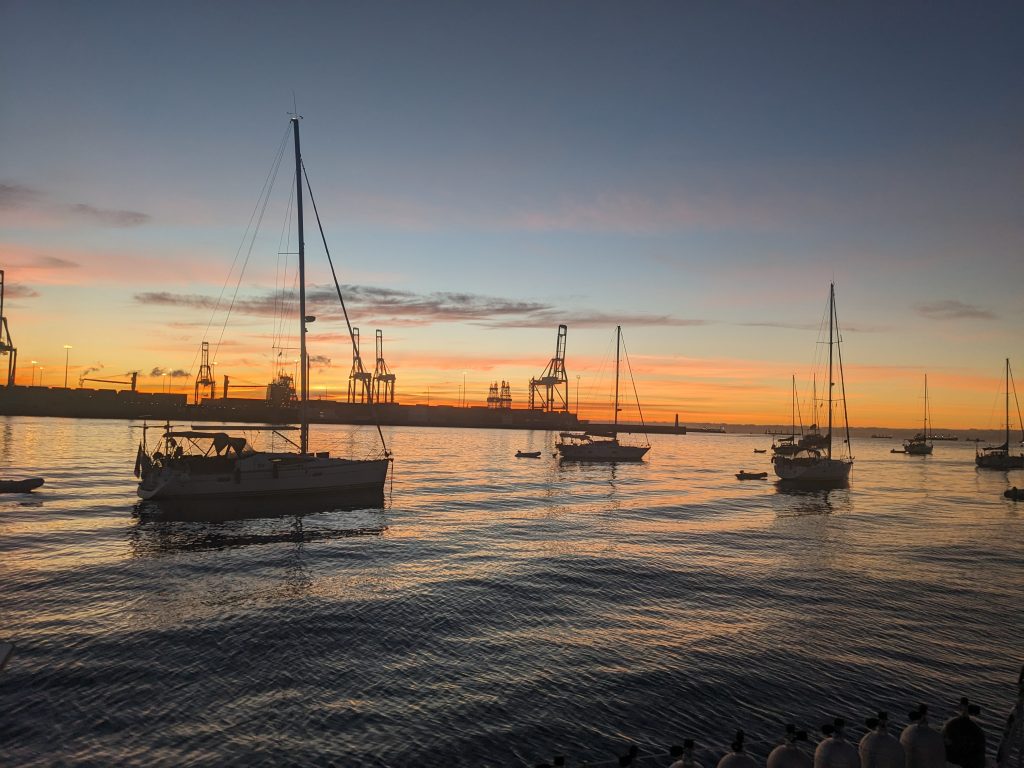
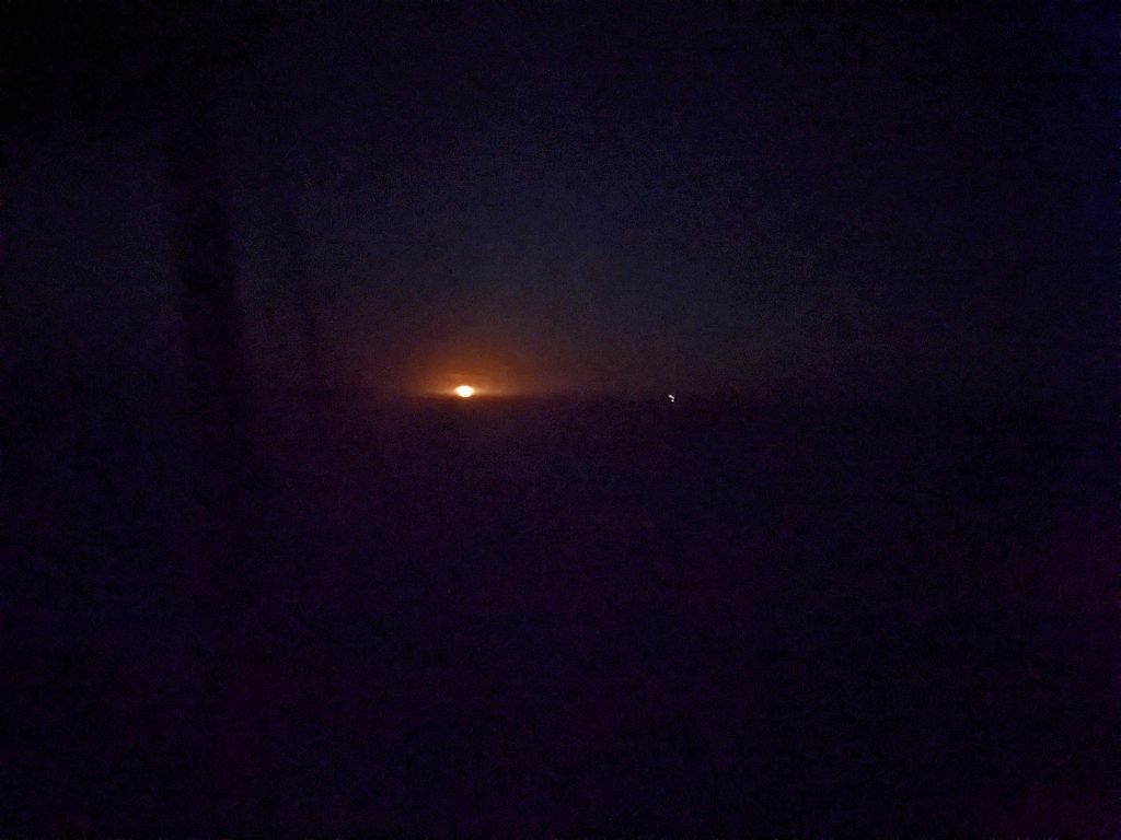
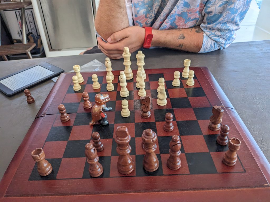
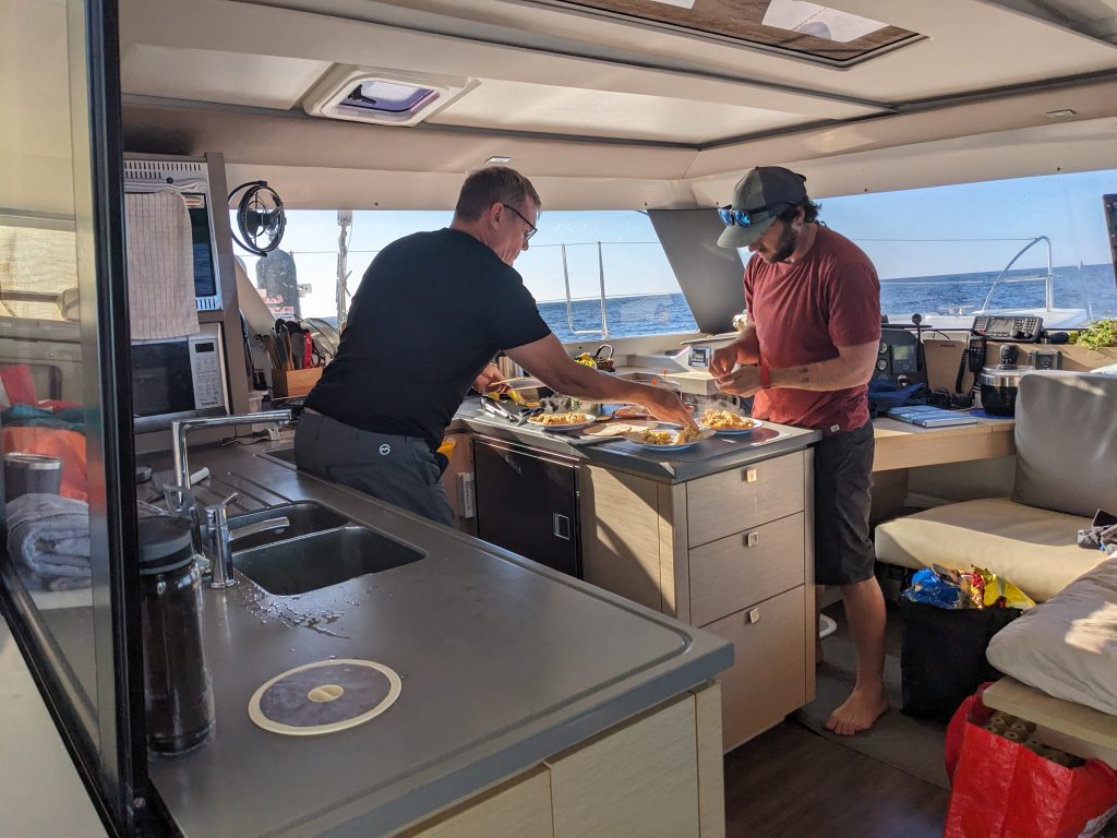
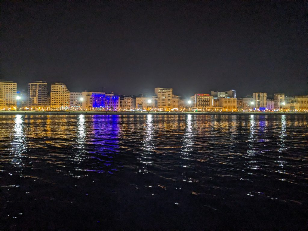
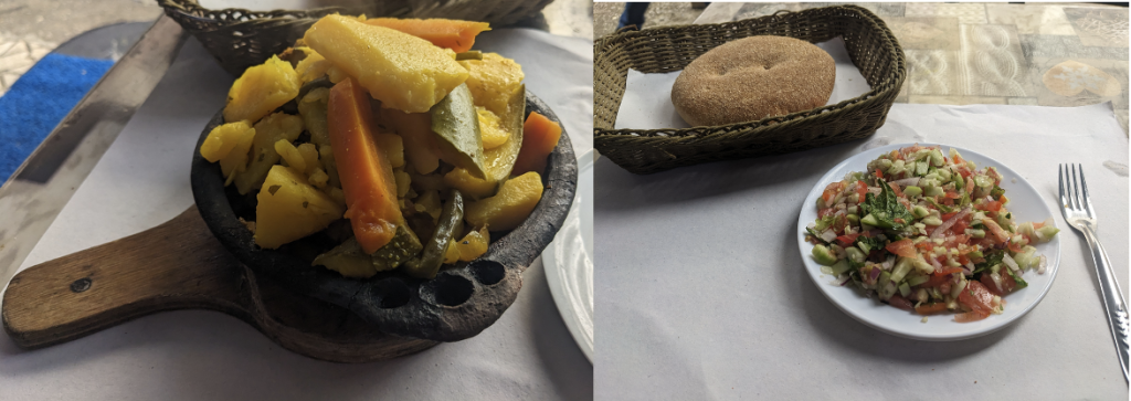
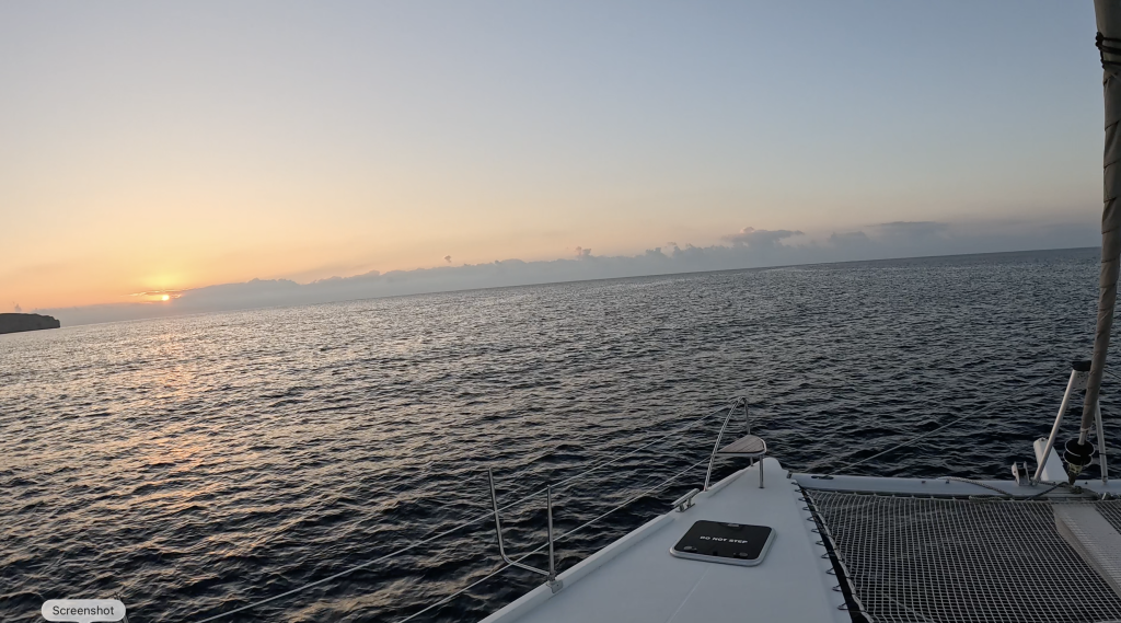
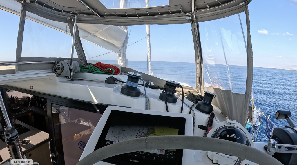
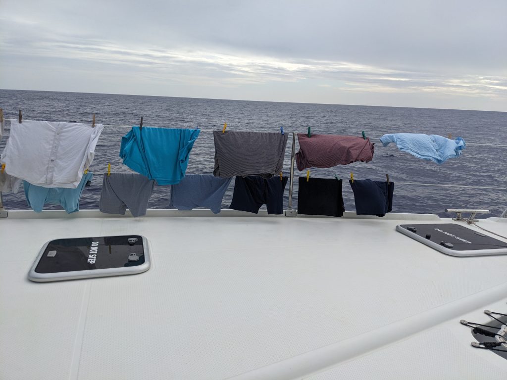
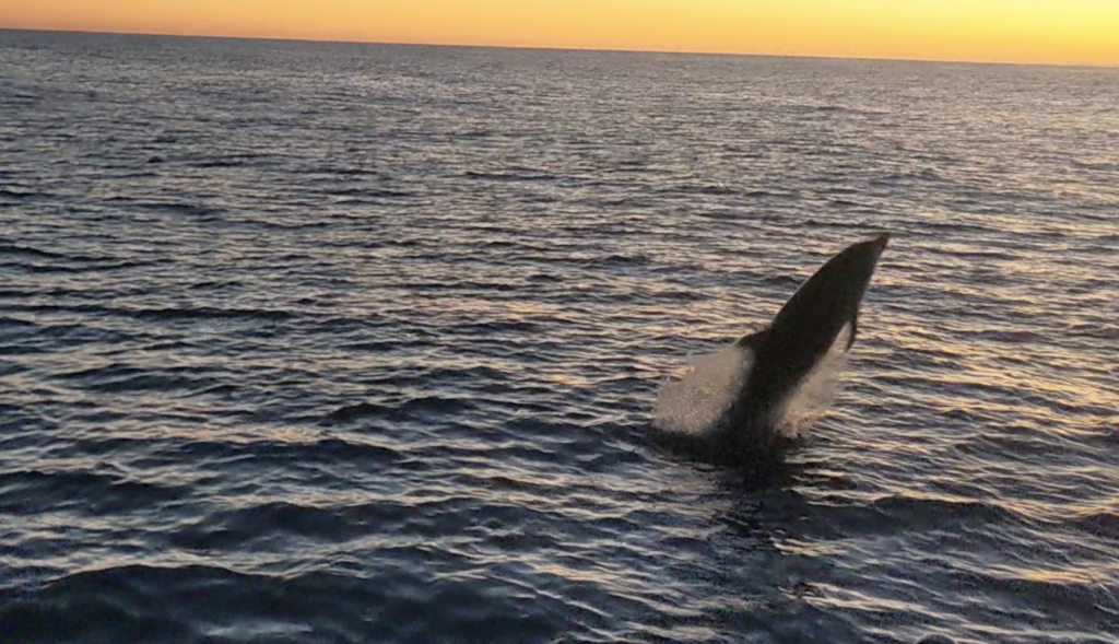
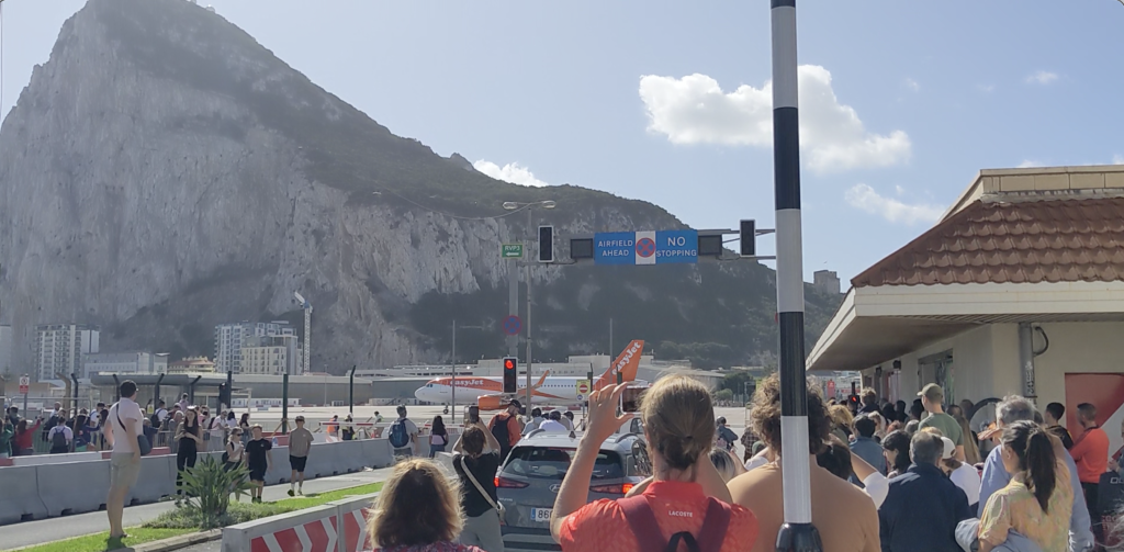
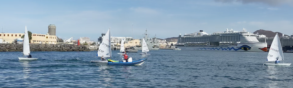
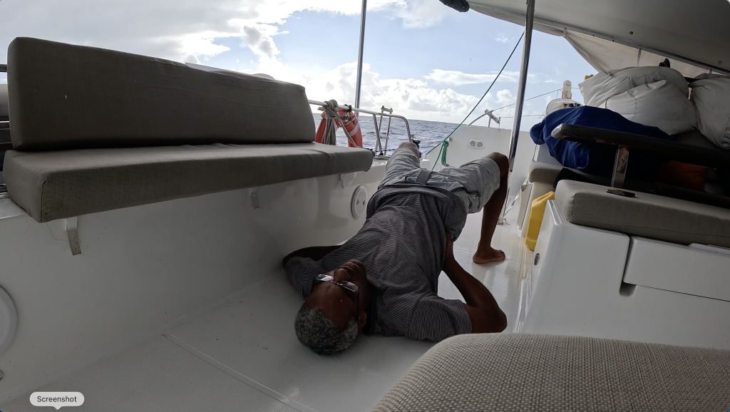
Bonus Pics
Previous Post in series: << 2023 Atlantic Crossing Week 2
( Part of series: Europe to the Caribbean with Abundance, My First Atlantic Crossing )