My wife and I had been discussing our plans to start sailing in the Caribbean, when she hurt her ankle and so was “grounded”, so to speak, for a few months. We said that it could be good for me to get out and go sailing anyway, if I could find a good captain or crew or opportunity.
I connected with a captain who was in Spain and looking to get his boat all the way back to the U.S. Virgin Islands, in time for the sailing season to kick off (he captians professional charters there in the high season).
He agreed to let me join his crew, and I agreed to accompany him on this 2-month long sailing excursion.
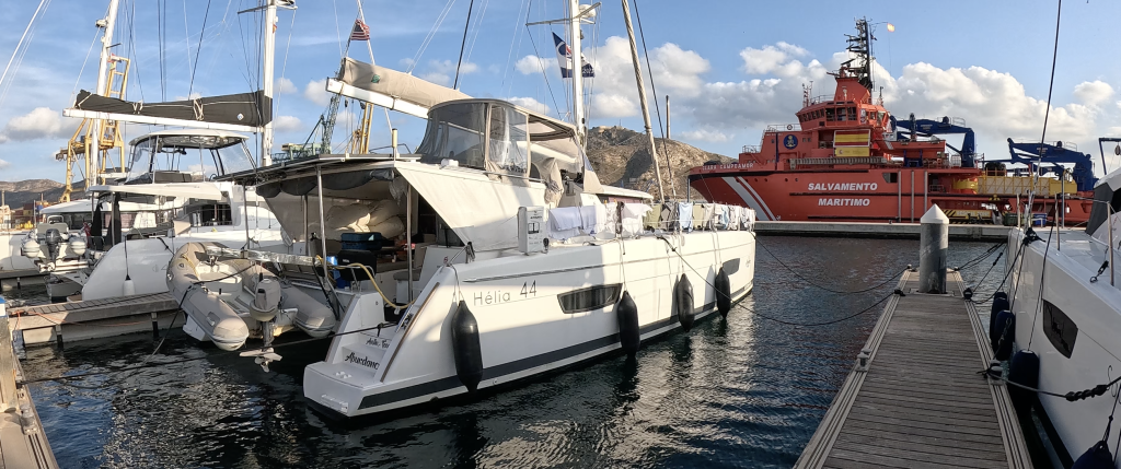
In the end, I boarded his boat, s/v Abundance, in Yacht Port Cartagena, Spain, and did not part ways with his boat until we landed safely in the Virgin Islands.
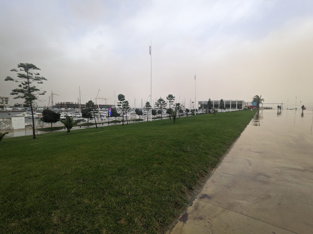
Where my adventure began: Yacht Port Cartagena, Spain
What was the actual journey??
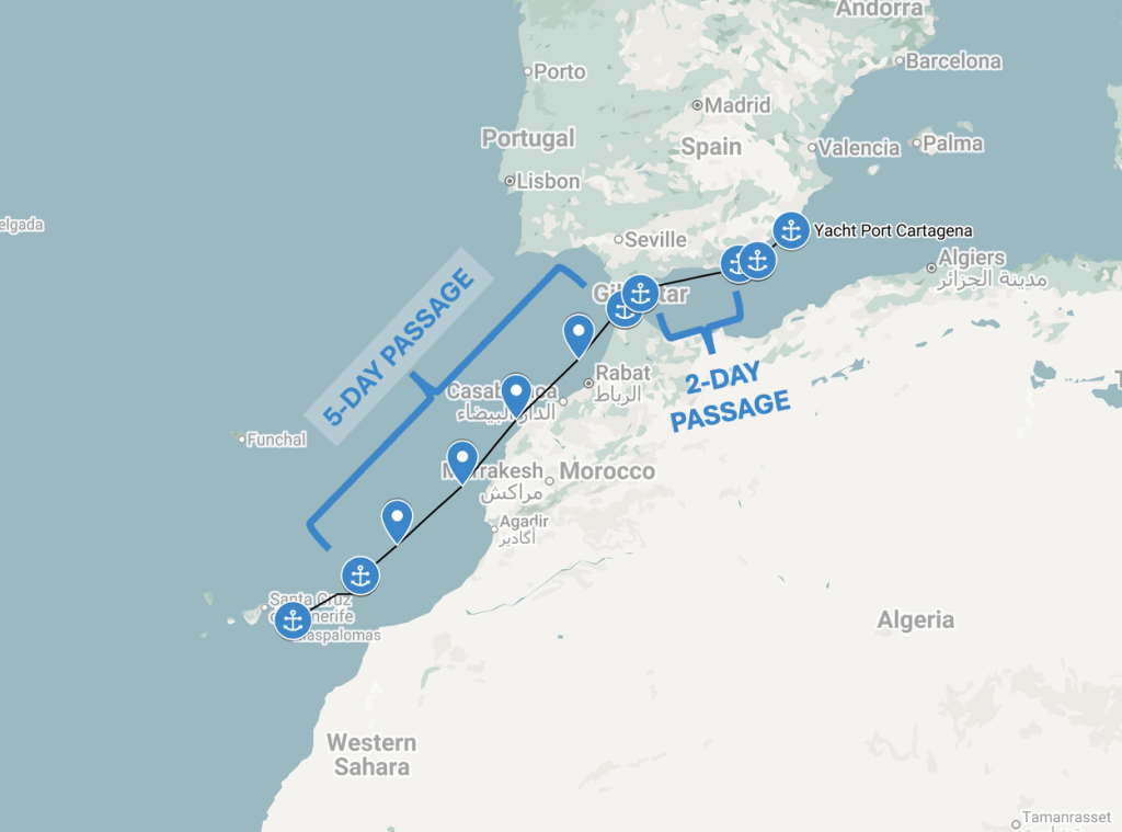
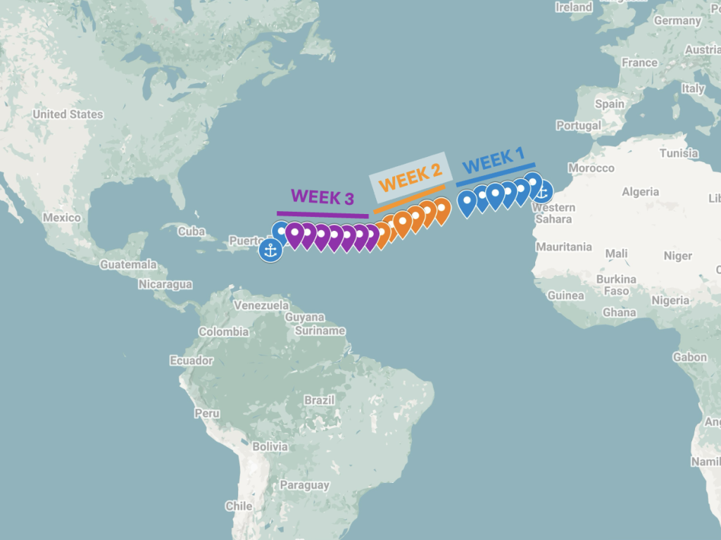
The trip had us sailing down the east coast of Spain all the way to Gibraltar, then across the Strait of Gibraltar to Tangier, Morocco, then down the west coast of Africa to the Canary Islands. From there, once we found a good weather window, we embarked on the final leg of our trip: a 3-week Atlantic crossing ending in the British Virgin Islands (BVIs). I boarded the boat in Cartagena, Spain on 10-October-2023 and we arrived in the BVI’s on 23-November-2023.
This was my first time doing an Atlantic crossing, and in fact my first glimpse into what the “live aboard” lifestyle is really like. All in all it was a great experience and humbling adventure.
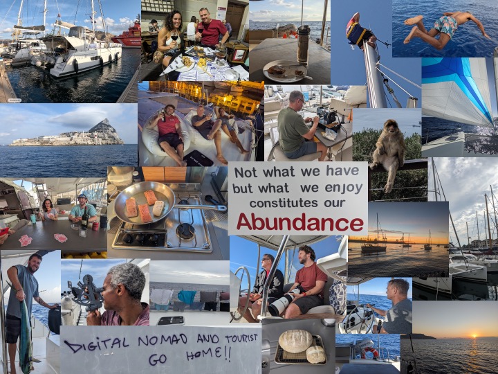
My wife and I started a WhatsApp group chat with friends and family, and as the trip progressed I posted updates to the group chat almost every single day. I’ve collected all of the updates and consolidated them into the above posts, which serve to document the journey. Happy reading!
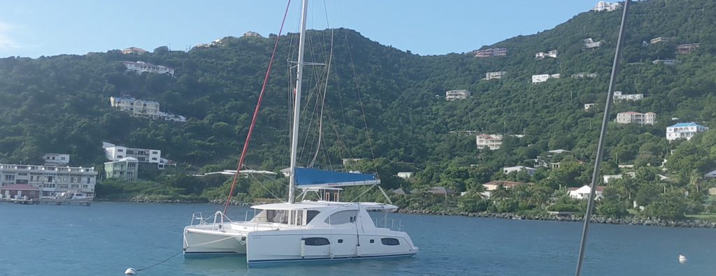
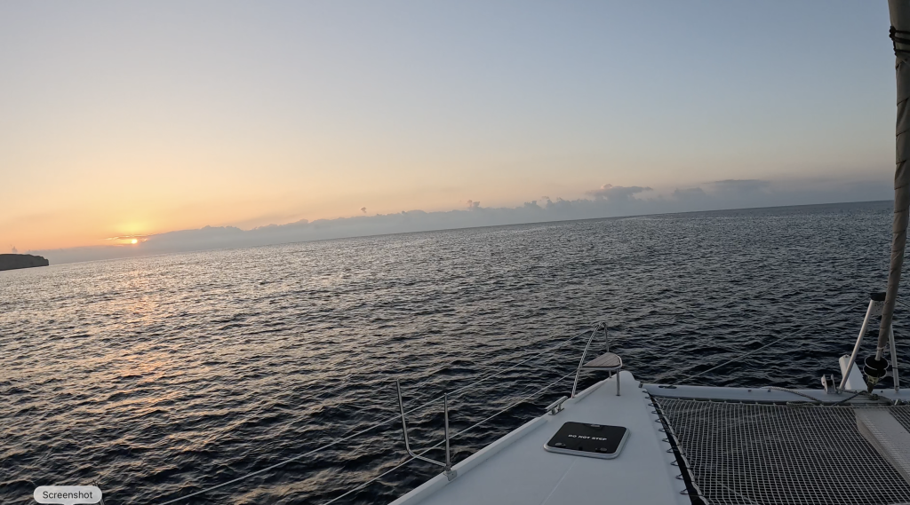
Final destination reached: moored in the Caribbean
Maps of the Sea Passages
Passages: Cartagena, Spain to Canary Islands via Gibraltar and Tangier, MoroccoPassages: The Atlantic Crossing– Canary Islands to Tortola, British Virgin Islands
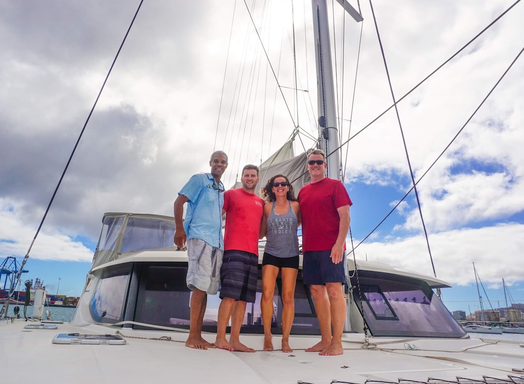
The crew that I did the Atlantic crossing with! Taken just before we picked up anchor.
If you jumped here directly, a bit of context:
Back in early October I had joined the crew of s/v Abundance, which is a 44-foot sailing catamaran. We started sailing off the coast of Cartagena, Spain, picked up a fourth crew member in Gibraltar, then continued our way down the west coast of Africa, until we arrived in the Canary Islands (see the start of the journey here: Europe to the Caribbean with Abundance).
Once in Gran Canaria, the next leg of the trip would be the longest — a nonstop passage with a final destination of the British Virgin Islands.
After a few days break in Gran Canaria, a good weather window presented itself– this means that it was a good time to leave as the weather was clear for the next few days, and there were no current reports of tropical storms or hurricanes popping up. So one morning captain decided we were ready to go! One last trip onshore to get some last groceries and provisions, and get a quick breakfast in. With that out of the way, we quickly prepped the boat for picking up anchor, stopped to refuel the gas tank, and then we shoved off on our voyage to reach the Caribbean.
The trip would end up taking 3 weeks, and would test us as a crew and test me personally. I loved the experience, and below you can read how the trip went, week by week.
Note to reader: The below updates were originally posted to a group chat that I was using to keep my family and friends updated on the progress of my sea adventure.
Update 28-October
It is now Saturday, and we have arrived in the Canary Islands!
Our plans changed again, we ran into some problems (read further) on Friday that delayed us, so that it made more sense for us to stop at the first island we came across, La Graciosa. We anchored there for the night. Now we are under way again, now headed for our destination of Gran Canaria. We are traveling southwest in a straight path to Gran Canaria.
On Friday we were sailing well, until our autopilot went haywire and in the chain of events that followed we got our fishing line wrapped in one of the catamaran’s propellers. So we stopped the boat, assessed the situation, and decided to continue on sailing, knowing that we can use only one engine until we have time to clear the line from the propeller of the second engine.
The catamaran was sailing fine without the motors anyway, so we could sail for most of the way, and made a night anchoring once arrived in the Canaries in La Graciosa.
In the morning the captain could more easily get the fishing line cleared from the propeller since the waters were calm. Fortunately for us (and especially for the captain as boat owner), there did not seem to be any other damage to the propeller, drive shaft, or engine, so that was a blessing. 🙏🏾
Now we are heading directly to our planned stopping point, Gran Canaria. We should arrive tomorrow if my back-of-the-napkin estimates are correct.
It is now Sunday morning and we have arrived at our destination of Gran Canaria in the Canary Islands!
This ends our planned passage from Tangier, Morocco to the Canary Islands. The passage was planned as a 5-day nonstop voyage, and we arrived on day 5 as planned. Day 6 was spent getting to Gran Canaria.
The plan now is to have a rest, take a hot shower, shave and get into some clean clothes 🙂
Also we will take a few days rest, go onshore and explore a bit. And of course we will also start to discuss and evaluate the right day to leave, to start our 3-week nonstop passage from the Canary Islands to St. Thomas, US Virgin Islands.
Yesterday went smoothly. After the captain got the fouled propeller issue sorted, we used the motor all the way straight through to Gran Canaria, motoring through the night. We arrived at 8:30am, dropped anchor, and are now taking a breather.
Note to reader: The below updates were originally posted to a group chat that I was using to keep my family and friends updated on the progress of my sea adventure.
Update 24-October
It is now Tuesday and we are now one day into our 5-day nonstop passage from Tangier to the Canary Islands. We have limited data this far off the coast, so I’ll have to upload photos/videos a bit later.
SUNDAY IN TANGIER
We were docked at the marina in Tanja Marina Bay in Tangier all day Sunday. But since it was raining off and on all day, I only went out for a Moroccan tea (black tea with mint and sugar served in a tall narrow glass), saw the Kasbah Museum, and ate a tajine at a restaurant frequented by locals.
After that it was a scramble because the storm we were waiting out arrived while we were docked (as expected). So all four of us had to hurry up to re-secure and tighten up the mooring lines to ensure that the boat would not be blown onto the rock or into neighboring boat or the rocks. Crisis averted, we settled in for an early night since the plan was to head out very early the next morning.
MONDAY AM: PREPPING FOR DEPARTURE
Wow! The boat’s all-white fiberglass deck was COMPLETELY covered with mud and dirt from Sunday’s storm! Must have been a sand storm combined with a rainstorm? Who knows?
Anyway as Captain handled our checkout and customs clearance to leave Morocco, we did two full soapy swab-and rinse jobs, and all the stains still didn’t come out. No worries, the bulk of the cleanup was done and we can finish the rest once we are settled in the Canaries.
MONDAY PM: SAILING SOUTH
Seas were fairly rough, with off-and-on rain, but nothing too alarming. Mostly the boat has huge up and down swings, which can get you seasick quickly if you’re not careful. 1st mate Vanessa made a homemade chicken soup for lunch, accompanied by a homemade sourdough foccaccia bread made on board by the Captain himself. Not bad for a meal made while underway!
NIGHT SHIFT
Once night hit, we started on our 3-hour shifts. My shift is now 2AM-5AM. This is not too bad because I can get a few hours’ more sleep in after my shift and still get up in time for breakfast. Before my shift, I managed to finish baking sourdough loaf that I helped get started, we’ll see how it turned out tomorrow. Night shift was fairly uneventful, save for a cargo ship I had to slightly alter course for to allow a comfortable passing distance.
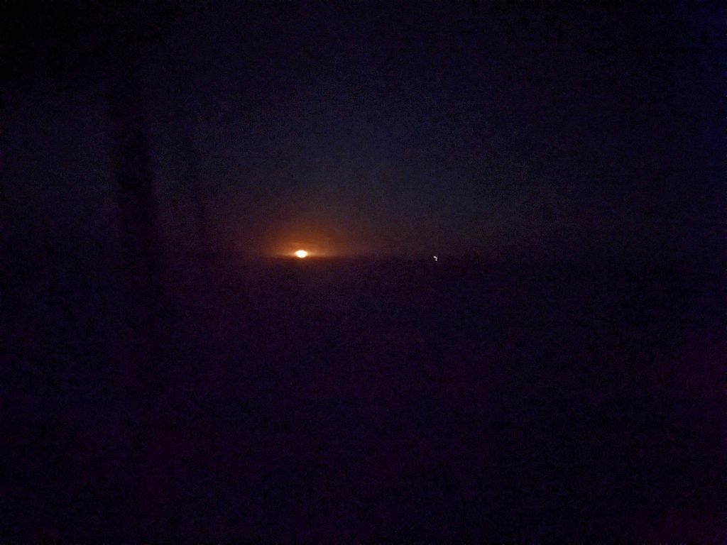
Night shift: this is how dark it gets…is that a ship off in the distance with the white lights??
TUESDAY: SUNNY START!
Now it’s morning and we are heading south off the west coast of Morocco, just a bit northwest from Rabat (Morocco). We have not yet made it as far south as Casablanca. We have sunny skies, so this should be a great day!
It’s now Wednesday, day 3 of our planned 5-day passage from Tangier, Morocco to the Canary Islands. We are still travelling south off the West coast of Morocco. Last night we passed Casablanca, and at late morning we are about 14 nautical miles west of Dra ed Drossa (Morocco).
Compared with Monday’s rain and choppy seas, yesterday (Tuesday) was an amazing day to be out on the water. I woke up to sunny skies and relatively calm seas!
So far we have been using the catamaran’s dual motors to make progress, as there is not enough wind in the right direction for us to move forward on wind power alone.
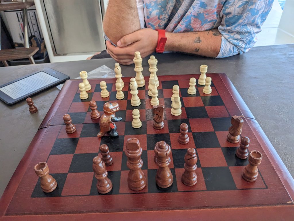
With our night watch schedules set, we try to keep to similar shifts for watch during the daylight hours as well. So before my 2pm-5pm shift I was able to sneak in a chess match (I got my butt whooped, will need to get my revenge :), and also could make progress on this online celestial navigation course I signed up for.
Getting my @$$ handed to me in Chess 🙁
Keeping watch at daytime is so much easier than at night for obvious reasons, so with not a lot of traffic around I was able to continue to study off and on.
I’ve started to try to go straight to bed at 8pm now, to try to get much sleep as possible before my 2am-5am night shift starts. Night shift was not too bad, only one ship came close enough for slight concern, but no major issues.
Now it’s Wednesday, another beautiful sunny day out in the ocean. Onwards!
It is now Thursday, day four of our planned 5-day nonstop passage from Tangier, Morocco to the Canary Islands. At 11:30 AM we are travelling south and slightly west down the west coast of Morocco, about 37 nautical miles west of Essaouira (Morocco). It’s a straight shot to the Islands now.
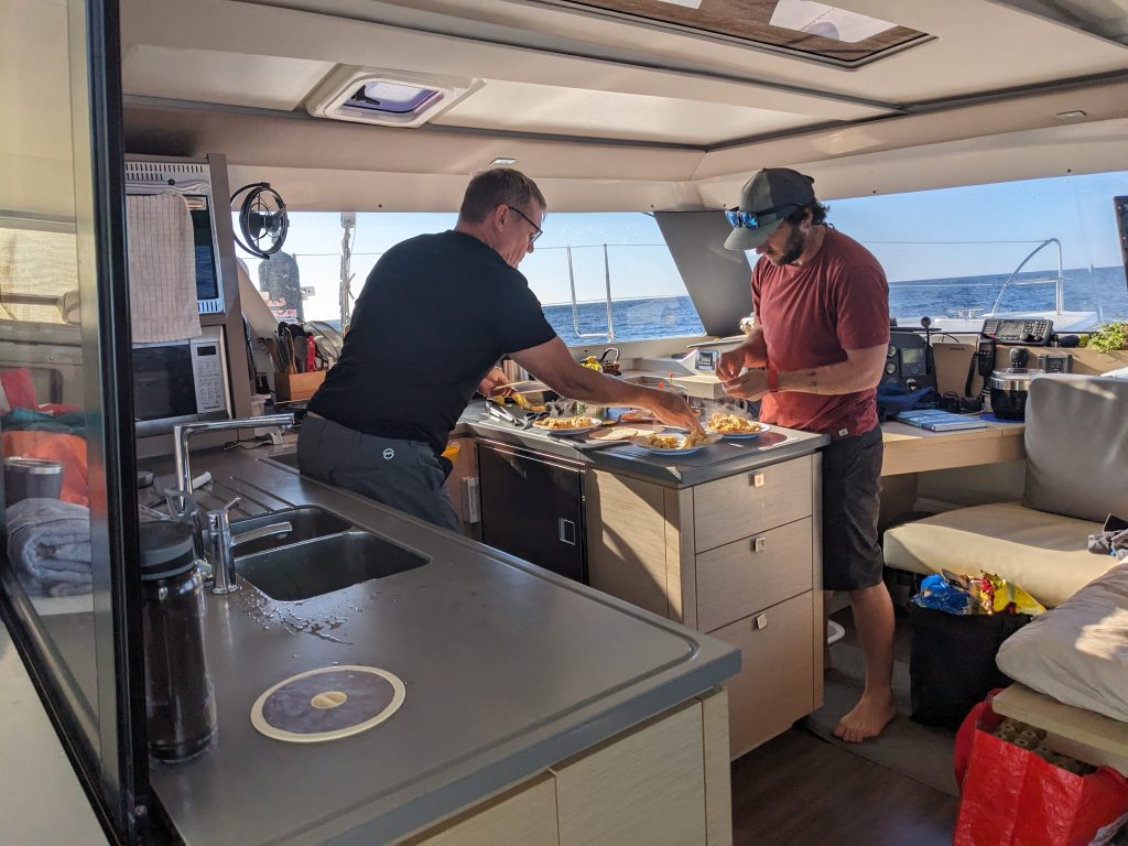
Who’s the chef, who’s the sous-chef??
Man what a beautiful sunny day out on the water that we had! The only issue, in fact, was an extremely light wind that prevented us from sailing on wind power alone. We ended up motoring most of the day. Which was fine though, as it is real nice to just cruise along in fairly calm seas.
Right at about sunset we had some dolphins come visit us who were very playful, we even managed to capture some of their antics on video!
As for night shift, the crew did manage to do some motor-less sailing for a few hours…but by the time my 2AM shift started, we were forced to drop the sails again and fire up the engines to keep us moving at a decent pace.
For Thursday we should be able to do more sailing, we shall see!
Here is our current location at 11:42 AM on Thursday 26-October:
This is day 5 of our planned 5-day nonstop passage from Tangier, Morocco to the Canary Islands. We are sailing southwest in a straight course to the northeast-most island in the chain.
Our destination is about 73 nautical miles out, which means we can make it there at night time if we can keep a good speed up, but can have a bit later arrival if we slow too much.
The good news is that since early afternoon yesterday, we have been sailing on wind power alone, and at a real good clip! 🌬️⛵🥳
With wind at about 15 knots coming from our side and both of our engines shut off, we were gliding through the water at 6-7 knots on average– which is actually better time than we can make while under engine power. And even better, the weather was sunny and the waves not too high or rough. So just an amazing day of real sailing.
With winds that high and boat speed up to 6-7 knots, the feel is very exhilarating…maybe the same effect if you are going like 40-50 mph in a convertible?
In any case the wind was truly welcome as we are able to make much better headway towards our destination.
Night shift was uneventful, just business as usual but with sails out and engines off.
Look at that baby-face! taking a break down in my cabin
It’s now Friday, we are sailing at 7 knots, and the clouds are now dissipating to reveal the sun off to the east. Looks to be another great day on the water!
Plans have changed slightly. Instead of trying to anchor tonight at the first island in the chain, we will do one more night sail to get us directly to Gran Canaria.
It is safer to sail offshore at night, than to try to navigate a crowded, foreign anchorage at night.
Note to reader: The below updates were originally posted to a group chat that I was using to keep my family and friends updated on the progress of my sea adventure.
Update 21-October
Okay! So plans have changed: it is now 13:30 on Saturday and we will be leaving Gibraltar in the next hour or so. The goal is to cross the strait of Gibraltar and make it to Tangier, Morocco before night fall.
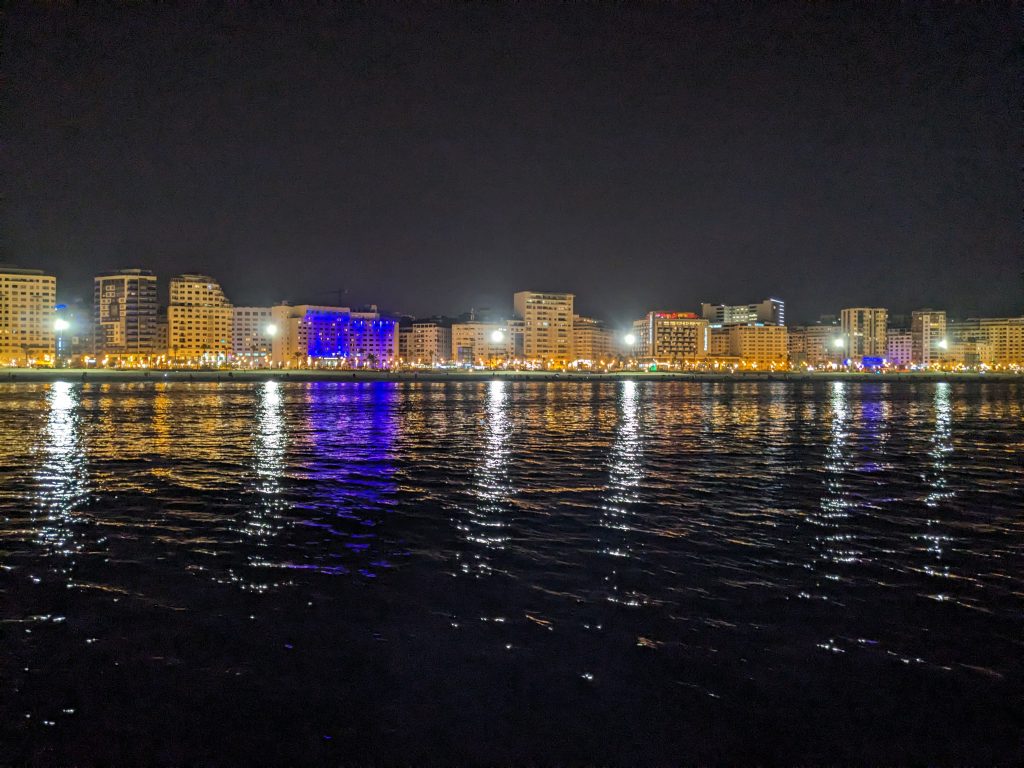
The coastline of Tangier at night
Update 22-October
After anchoring at a beach just next to the main marina in Tangier, the Moroccan coast guard rolled up on us, boarded our boat, and told us that we were not allowed to anchor here, and in fact you are not allowed to stop anywhere outside of marinas at night. Since we are now in need of shelter from the coming Sunday storms, they called the marina and got us a berth there. (After a bunch of passport and boat paperwork inspections and looking around)
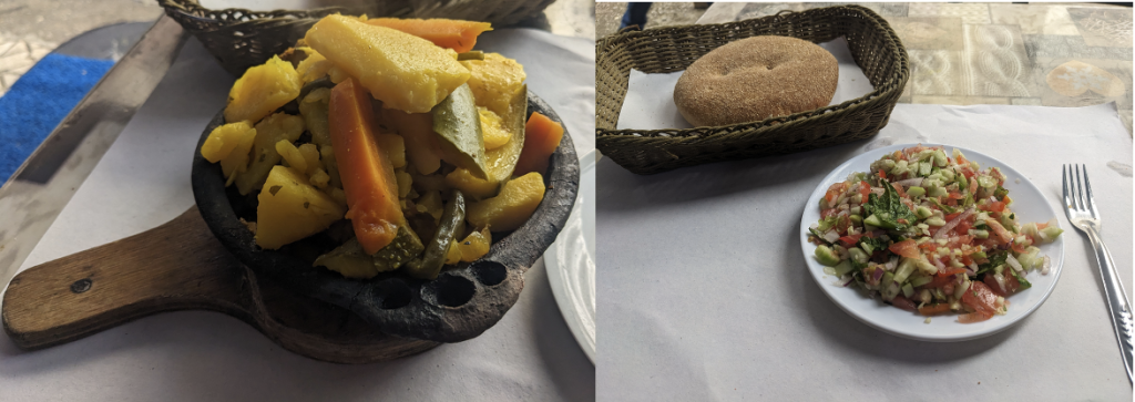
Dinner onshore: Salade Berbere and a Tajine
So now the plan is that we wait it out in the port at Tangier, waiting until the storm passes. The current weather forecast says that we should be able to leave first thing Monday morning, so that is the current plan.
So if we go according to plan, we will leave Tangier on Monday (tomorrow), and then head straight for the Canary Islands in a nonstop passage. This passage takes approximately 5 days, and the goal is to make it there by Friday or Saturday.
View on the Tanja Marina Bay in Tangier, Morocco
It’s raining today in Tangier, so sight-seeing may be limited to a nice tagine or couscous for dinner. Excited to get on with this next passage!
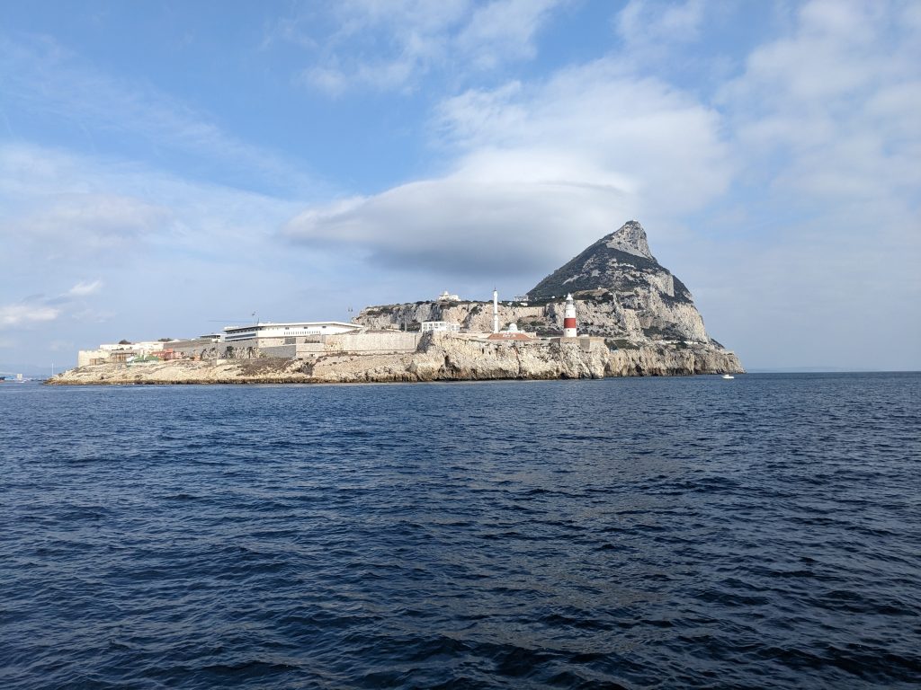
Breathtaking! A view of the Rock of Gibraltar on approach from the sea
Note to reader: The below updates were originally posted to a group chat that I was using to keep my family and friends updated on the progress of my sea adventure.
It’s now October 13, 8:15AM.
I just finished my second night shift, and the sun has just come up. We are 13 nautical miles off the coast of southern Spain, headed west, not far now from Gibraltar, which is our current destination. We should arrive in Gibraltar about noon today. We have a berth reserved in a marina in Gibraltar, so we should have a nice comfortable few days as we meet our new crew member, get some supplies and do some maintenance work on the boat. The night shift wasn’t too bad: each of us take 2 hour shifts but the time passes fairly quickly when you are actively helming (steering). I had the 6pm-8pm, midnight-2am, and 6am-8am shifts. Which basically means steer until 8pm, hand the helm over to the next crew member, and then go down and try to sleep until midnight, the start of my best shift. Et cetera.
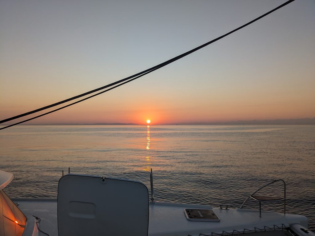
Beautiful sunset on the water
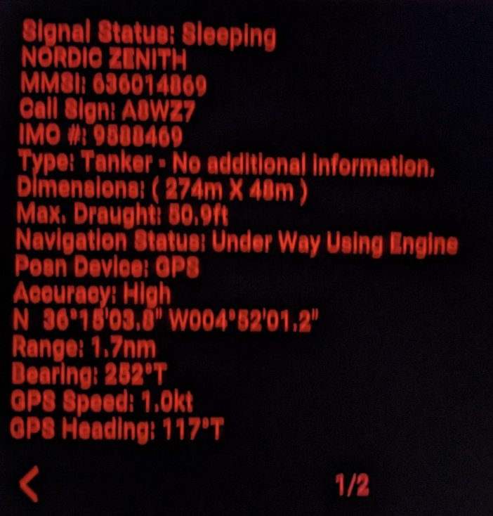
The shifts were mostly uneventful, the most challenging part being trying to identify reliable marks in the dark to keep you on course. You do have a GPS display, but steering the boat by staring at the GPS only is not a good practice, plus it is much harder than simply finding a point in the distance to steer towards. The only action I saw was to avoid a huge tanker that was smack dab in the middle of our track (blocking our intended direction). But after steering to pass behind the tanker, my shift was just about up and I was relieved.
Night Watch: screening details of the commercial tanker we are trying to avoid
I’m looking forward to a few days on shore in Gibraltar, I can get some walking in and just relax for a bit.
This is day two of the trip down the Spanish coast from Cartagena to Las Roquetas De Mar.
View underway, sailing south down the east coast of Spain
Instead of doing the trip nonstop, we anchored at night to get a good night’s sleep, then at sunrise we pulled up anchor and continued sailing south until we arrived off the coast of Roquetas de Mar, Spain. There were no official anchorages with mooring balls, so we pulled not much more than 500 feet out from a small local beach, and dropped anchor there to allow us to handle some business for a few hours onshore.
View from the helm
After locking up the boat, we took the dinghy not to the beach, but to a commercial marina and tied the dinghy up next to other small boats (I’m pretty sure we weren’t really supposed to dock there). The first order of business was to find the border control authority who would stamp us out of the EU….this took awhile but we were eventually guided to the right person, and between the three of us we were able to muster up enough Spanish to get our business taken care of.
Aside: International Coastal Cruising and Passport Control
On a side note, I was taken aback by the informality of the passport stamping process – unlike at an airport or road border crossing, there was very much a sense of an ‘honor’ system– we told the officer where the boat was anchored, but after we got the passport stamped, nobody really checked to confirm we really left; in fact we didn’t leave, we had lunch and then handled other business before eventually heading back to the anchored catamaran. I guess with a 42 foot catamaran, the risk of us being able to stash the boat somewhere sneaky and going to live in the town was low, but I was still surprised to see how much freedom we were given. Later I discovered that in a lot of coastal towns, there is a sort of informal rule that provided that you do not venture more than a mile or two inland, you are not really considered to have “entered” the country, provided you return to your boat in short order. In these cases they might not even bother with passport entry/exit stamps, to reduce the amount administrative work that seems a bit meaningless for a sailing crew that is essentially making a stop for gas and food before continuing on their journey.
Anyway with the passports now taken care of, we ventured in town for lunch at a café, and then we set off to retrieve the captain’s emergency liferaft from the shop where he left it. We hauled that thing in a dolly they loaned us all the way back to the marina (on foot), dropped the raft into our waiting dinghy, then after 1st mate returned the dolly we motored back to the catamaran.
Walking through the town (the coastline is to the left)
We moved the catamaran to a more secure anchoring location, dropped anchor, then got a good night’s rest.
At this point we are 3 people on board: me, the captain (Blaine) and his girlfriend Vanessa.
The next morning we picked up anchor and set off with a destination of Gibraltar, which is a territory of the United Kingdom. That is a 27-hour trip, which requires an overnight passage to accomplish non-stop. That entails each of us to take up a night shift for one night. So I went off to bed early, to get plenty of sleep– tomorrow will include a night shift. Till tomorrow!
I joined the crew of s/v Abundance on the 10th of October, at Yacht Port Cartagena, in Spain. I flew in from London, after having left my wife in France to recover from her ankle injury.
When I met the captain, captain Blaine, he let me know that his girflriend will indeed be accompanying us on this trip. When I first called about the opportunity, captain was not sure if she would be joining us…in fact I think one of the reasons that I was an attractive crew member for him is that I know my way around a kitchen, and so I could help share the cooking duties, especially if his lady would not be coming along with us.
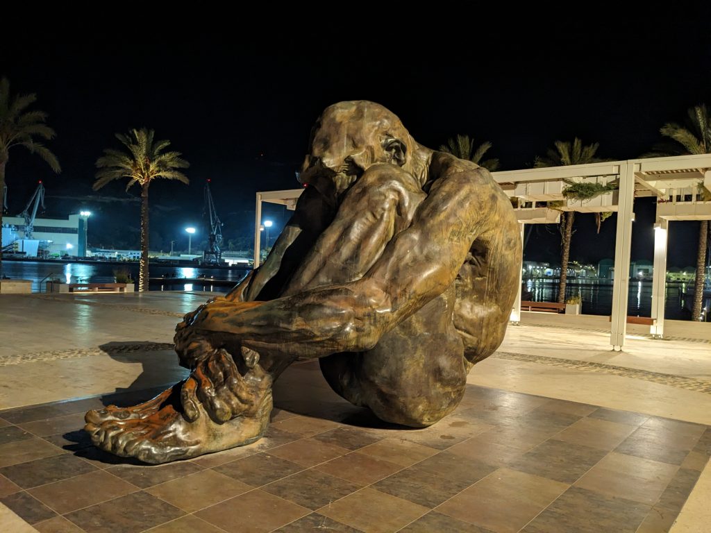
El Zulo sculpture in Cartagena — paying homage to victims of terrorism
So the evening before our departure we went into town for a good Spanish meal and drinks. A first chance for us to get acquainted, as we would be spending almost 2 months in close quarters. After dinner and a bit of a sight-seeing walk back to the marina, we settled in to bed on the boat for the night.
The next morning captain didn’t waste any time– we had a quick coffee then picked up our mooring lines and were underway! He said we’d get breakfast going after we were well on our way.
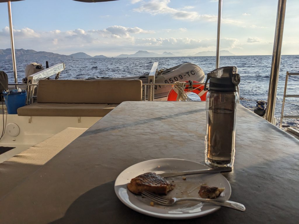
Breakfast while underway…french toast at that!
The end goal, so far, was to make it down to Gibraltar, where we would pick up a fourth crew member. But Gibraltar was at least a few days’ sail away, so we didn’t plan to try to make it there in one long trip. There were two main goals then as we made our way south towards Gibraltar:
Find a place where we all could get our passports stamped as exiting the EU
Make a stop in Roquetas de Mar, where captain had dropped off his backup liferaft for re-certification.
So we set sail in direction of Roquetas de Mar, where both could be accomplished. We were not yet ready to start overnight sailing though, so we found a safe anchoring spot just before nightfall, and slept at our anchorage.
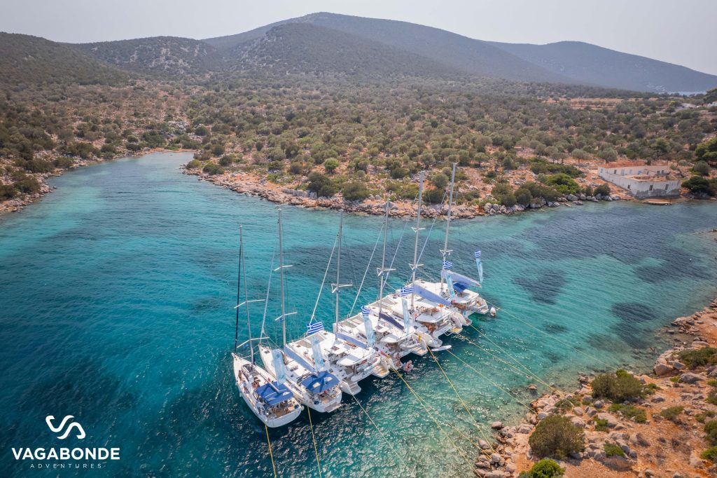
After restrictions were lifted following the COVID pandemic, the wife and I were ready for an outdoor adventure. She found out about a flotilla that was being organized by the same group responsible for the Sailing La Vagabonde YouTube channel, which has a cult-like following– as I would soon find out.
We signed up for a cabin on a Lagoon 42 sailing catamaran, for a 7-day flotilla to take place in the Saronic islands in Greece. We had a great time, and so I’ve chronicled our time out in the two below posts. Enjoy!